top of page
Preserving History Through Digitization
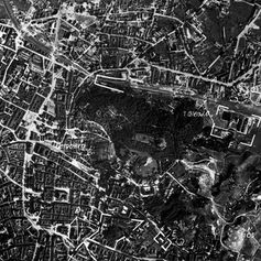
Digitization transforms paper maps and drawings into digital formats. Using a technique called tracing, we convert scanned images into precise digital representations aligned with existing coordinates. Through careful analysis, we extract features, labels, and spatial data using CAD software.
Our services are ideal for updating old maps, comparing historical changes, supporting archaeological and historical research, and digitizing property records. We deliver digitized maps in 2D CAD format.
For more details or to request a quote, please contact us via email or our contact page.

bottom of page


